
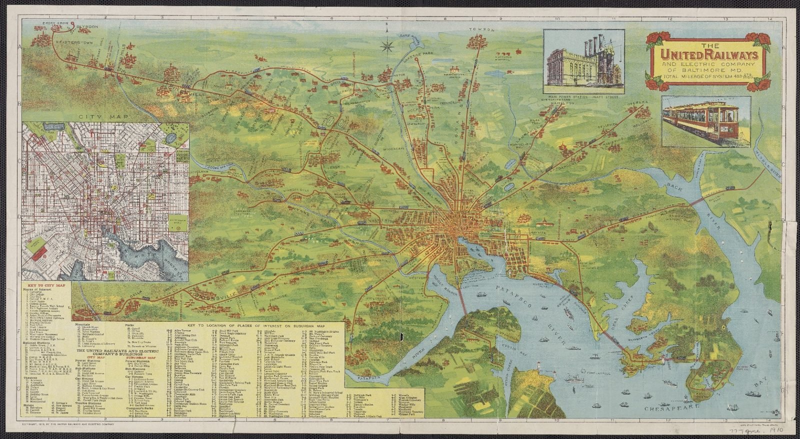
Step into Baltimore in 1910 with this richly illustrated historic map showing the city and its expanding electric railway system at the beginning of the 20th century.
Published for the United Railways and Electric Company of Baltimore, the map combines a detailed city plan with suburban railway routes extending across the wider Baltimore region. It also features the Patapsco River, Chesapeake Bay approaches, neighborhoods, parks, landmarks, railway lines, and period illustrations of Baltimore’s electric transit system.
The map is especially interesting because it captures a period when electric streetcars played a major role in shaping urban growth and connecting downtown Baltimore with surrounding communities.
Perfect for:
- Vintage map collectors
- Baltimore and Maryland history enthusiasts
- Railway and streetcar enthusiasts
- Historical research and education
- Office, library, study, or living-room décor
- Printable historical wall art
- Unique gifts for history lovers
You will receive a digital high-resolution image file. No physical item will be shipped.
Please note that this is a reproduction of a historical map. Natural aging, discoloration, markings, and other imperfections visible in the original have been preserved as part of its historical character.

 No products in the cart.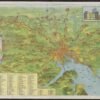
Reviews
There are no reviews yet.