
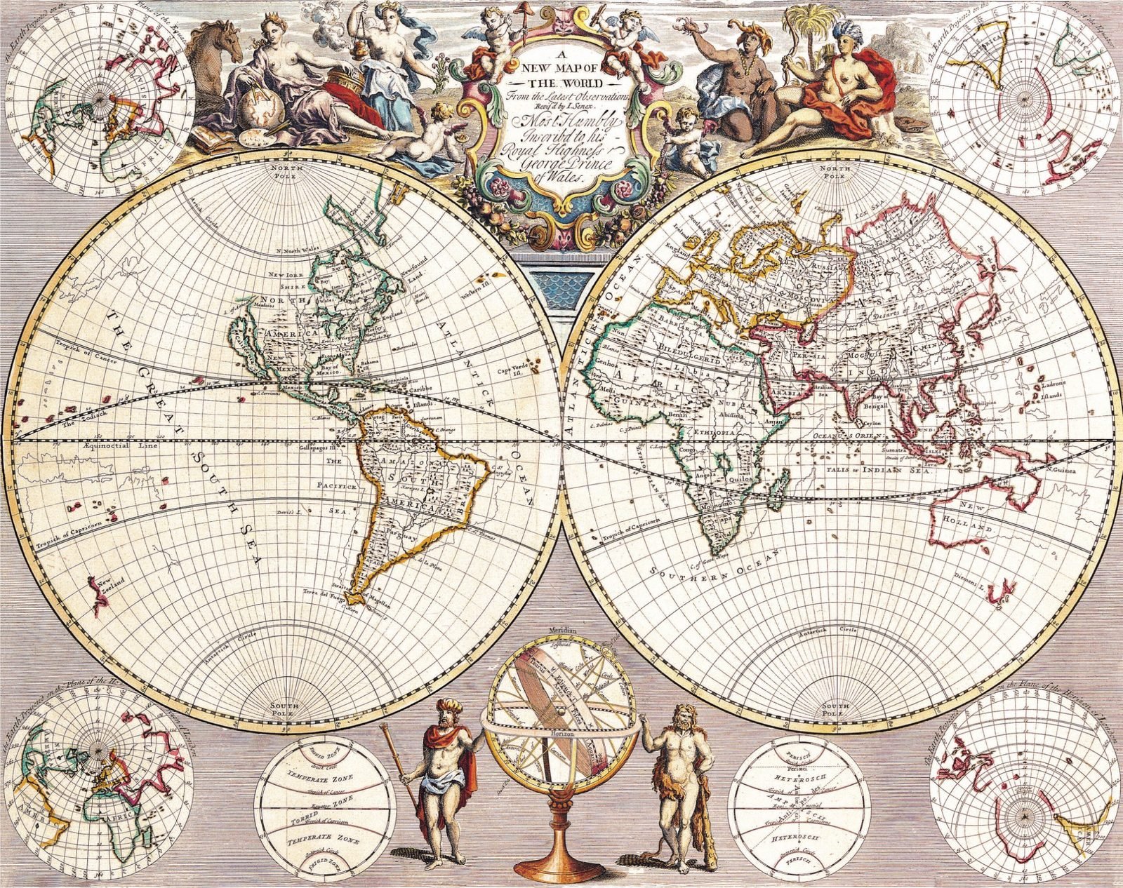
Explore the world as it was understood during the Age of Exploration with this beautifully illustrated antique map.
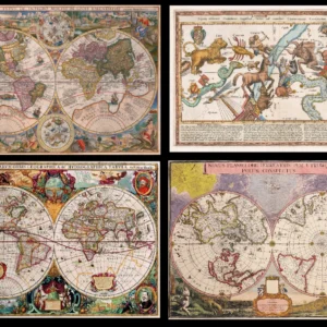
Titled “A New Map of the World,” this historic work presents the globe across two large hemispheres, surrounded by smaller polar maps, astronomical diagrams, an armillary sphere, and elaborate decorative figures.
The map offers a fascinating glimpse into historical geography—showing how cartographers represented Europe, Africa, Asia, the Americas, Australia, the oceans, and polar regions based on the geographical knowledge available at the time.
Its combination of cartography, astronomy, geography, and classical artwork makes it particularly striking as both a historical document and decorative print.
Perfect for:
- Antique map and cartography collectors
- History and geography enthusiasts
- Libraries, studies, offices, and classrooms
- Vintage and classical interior décor
- Printable wall art
- Unique gifts for travelers and history lovers
You will receive a high-resolution digital image. No physical item will be shipped.
Historical coloring, typography, engraving details, and imperfections have been preserved to retain the authentic character of the original map.


 No products in the cart.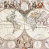
Reviews
There are no reviews yet.