











 No products in the cart.

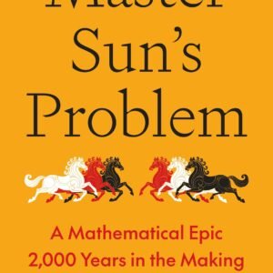
- NewExplore Master Sun’s Problem by Dana Mackenzie, a mathematical adventure connecting an ancient Chinese strategy puzzle with modern discovery and collaboration.
Master Sun’s Problem: A Mathematical Epic 2,000 Years in the Making
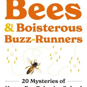
- NewExplore honey bee behavior with Thomas D. Seeley. Discover 20 scientific mysteries involving colony life, communication, nest selection, and survival.
Piping Hot Bees and Boisterous Buzz-Runners: 20 Mysteries of Honey Bee Behavior Solved
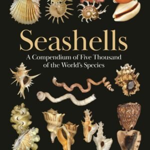
- NewDiscover Seashells by Paul Callomon and Gary Rosenberg, an illustrated reference covering about 5,000 species with more than 5,400 color photographs.
Seashells: A Compendium of Five Thousand of the World’s Species
- -60%
A fascinating volume from the Smithsonian Institution’s historic scientific publication series. Smithsonian Miscellaneous Collections – Volume 118 (1952) brings together scholarly scientific research published by one of the world’s leading research institutions.
Originally part of a series established in the 19th century, this digitized volume offers a valuable window into mid-20th-century scientific scholarship, making it an excellent resource for researchers, historians of science, collectors, and curious readers.
Digital Edition • Searchable PDF • English • Smithsonian InstitutionSmithsonian miscellaneous collections by Smithsonian Institution
- NewRead The Heart of the Wild, edited by Ben A. Minteer and Jonathan B. Losos, for essays on wildness, conservation, natural history, and humanity’s future.
The Heart of the Wild: Essays on Nature, Conservation, and the Human Future
- NewDiscover The Last Animal by Kyle Harper, an environmental history connecting human expansion, biodiversity loss, and the threat of a sixth extinction.
The Last Animal: Human History and the Fate of Life on Earth from the Ice Age to the Sixth Extinction
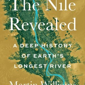
- NewExplore The Nile Revealed by Martin Williams, a geological and environmental history of the Nile, its tributaries, ancient societies, and changing climate.
The Nile Revealed: A Deep History of Earth’s Longest River
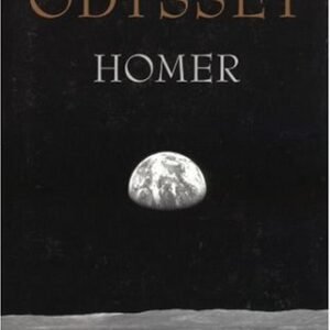
- -60%The first great adventure story in the Western canon, The Odyssey is a poem about violence & the aftermath of war; about wealth, poverty, & power; about marriage & family; about travelers, hospitality, & the yearning for home.
The Odyssey
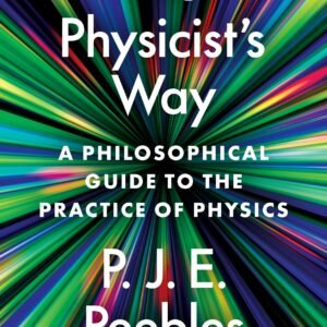
- NewDiscover The Physicist’s Way by Nobel laureate P. James E. Peebles, exploring scientific reasoning, quantum physics, cosmology, and the culture of physics.
The Physicist’s Way: A Philosophical Guide to the Practice of Physics
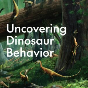
- NewExplore Uncovering Dinosaur Behavior by David Hone and learn how fossils reveal dinosaur feeding, communication, reproduction, social life, and combat.
Uncovering Dinosaur Behavior: What They Did and How We Know
- -63%
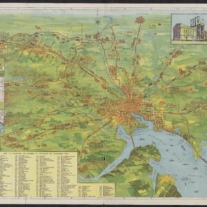
A beautifully detailed 1910 map of Baltimore and the surrounding region, featuring the United Railways and Electric Company of Baltimore streetcar network, city streets, waterways, landmarks, and illustrated transit scenes. Ideal for collectors, history enthusiasts, researchers, and vintage wall art.
Digital download • High-resolution image • Ready to print
Vintage Baltimore Railway Map – 1910